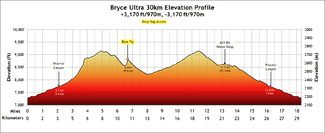
Updated May 26, 2021 – In addition to several virtual running challenges this year, I’m registered for the Bryce Canyon 30k trail race – eighteen miles of amazing scenery starting at Proctor Canyon at @7200′ and climbing to a little over 9000′, with a total elevation gain of about 3200 ft. Check out the GPS route and elevation profile on Ride with GPS.
To prepare for the race, I’m following a couple of 30k training plans I found online, which combine running about 5 times a week (four shorter runs @3-6 miles, and one long run, building up to 18-20 miles over several months), plus strength and mobility work. Running has never been my primary sport, so this has been quite a change for me and, surprisingly, I really like it.
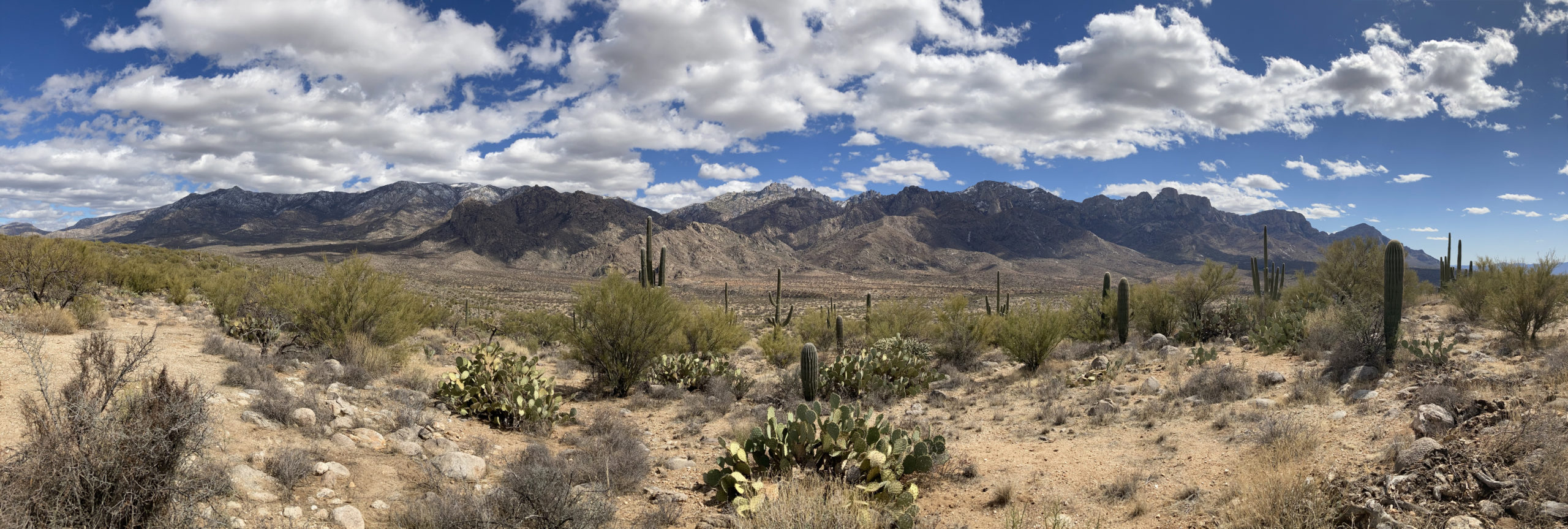
All the fantastic trails around Tucson make it easy to enjoy trail running. Mountains surround Tucson with elevations from 3000′ to 9000′ — Oracle State Park, Catalina State Park, Rincon Mountains, Santa Rita Mountains, Santa Catalina Mountains, and the Tucson Mountains — which allows me to make comparable runs to the Bryce 30k.
I’ve been dealing with a few physical challenges (recovery from my NY’s Eve concussion, muscle imbalances, and nerve compression in my back), but I’m doing physical therapy regularly and, so far, I’m still on track with my training. I think I’ll be able to handle the distance and the elevation gain over the 18 mile course, but given the race elevation is between 7000′ and 9000′, my last month of training will mostly be done at similar elevations.
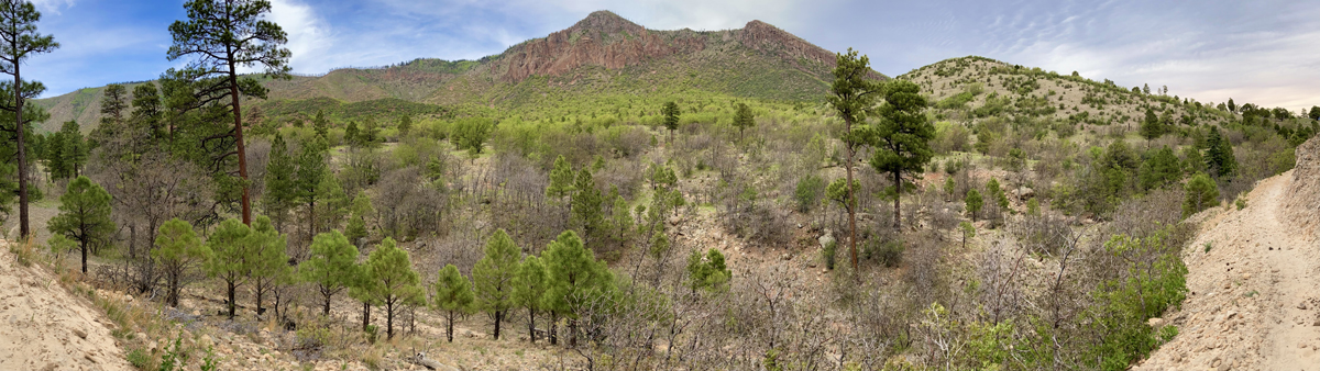
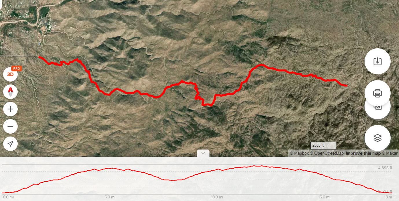
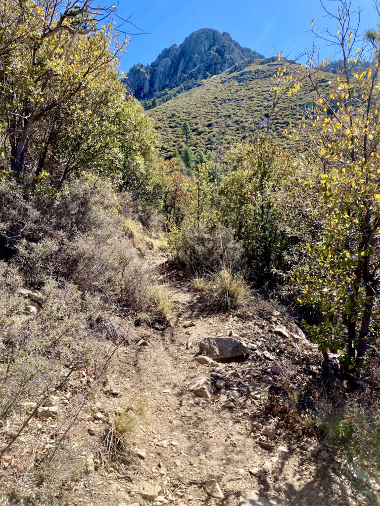
On April 23, I did my second 18 mile training run, but this time I created a route on the Douglas Spring Trail in the Rincon Mountains that closely matches the elevation profile of Bryce (although the actual elevation was lower). My goal was to make it to all the cutoff times for the various Bryce waypoints/aid stations, and finish without hurting myself. Mission accomplished!

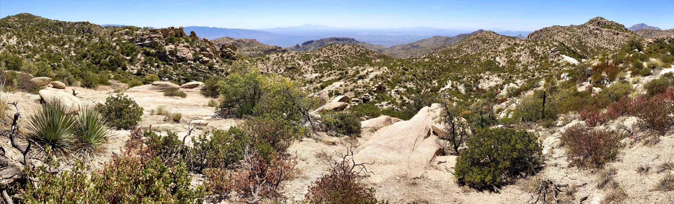
The Douglas Spring Trail, facing West toward the Tucson Mountains
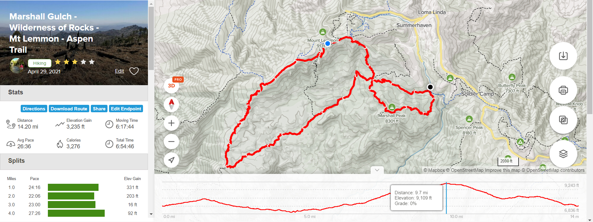
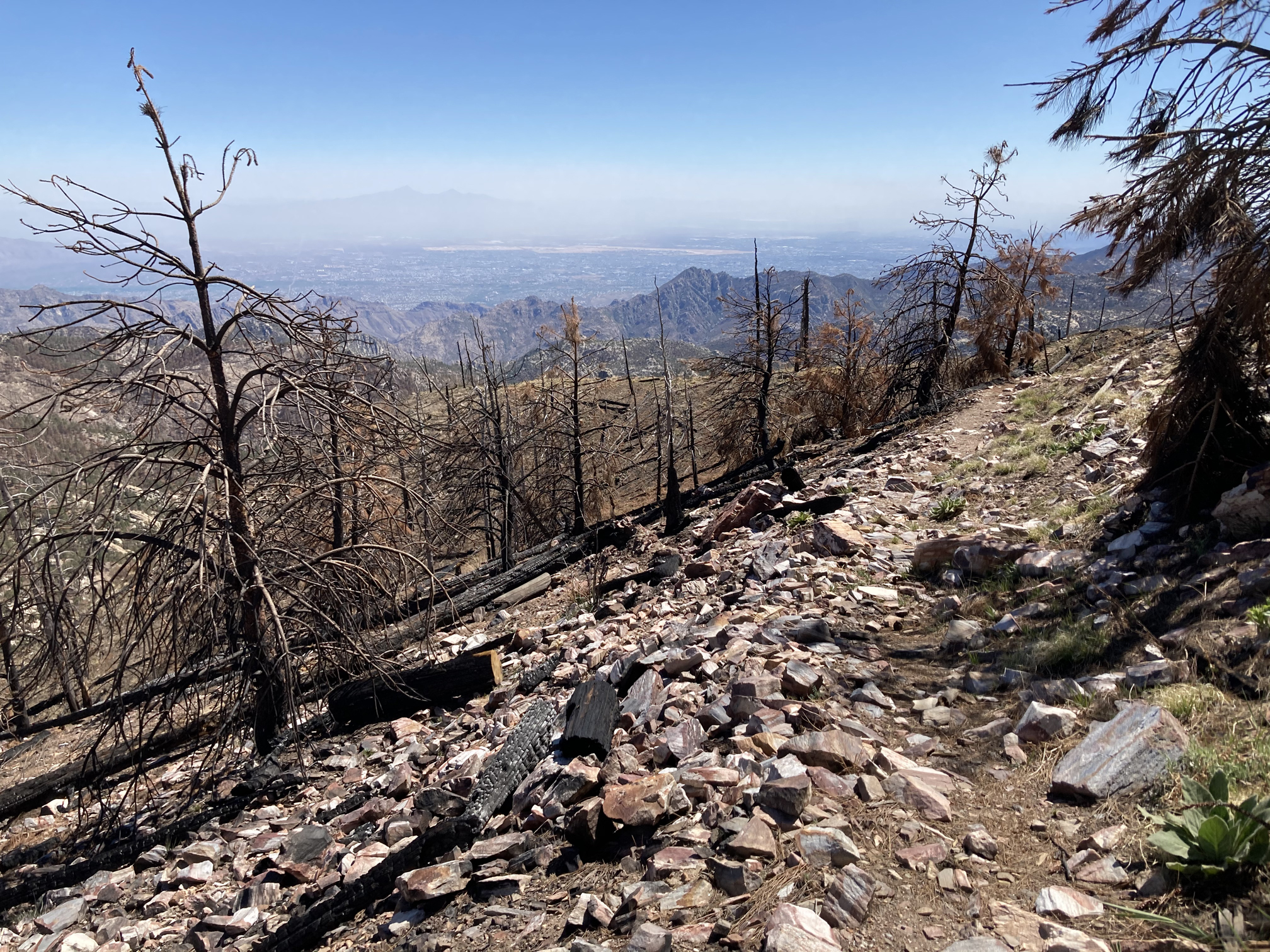
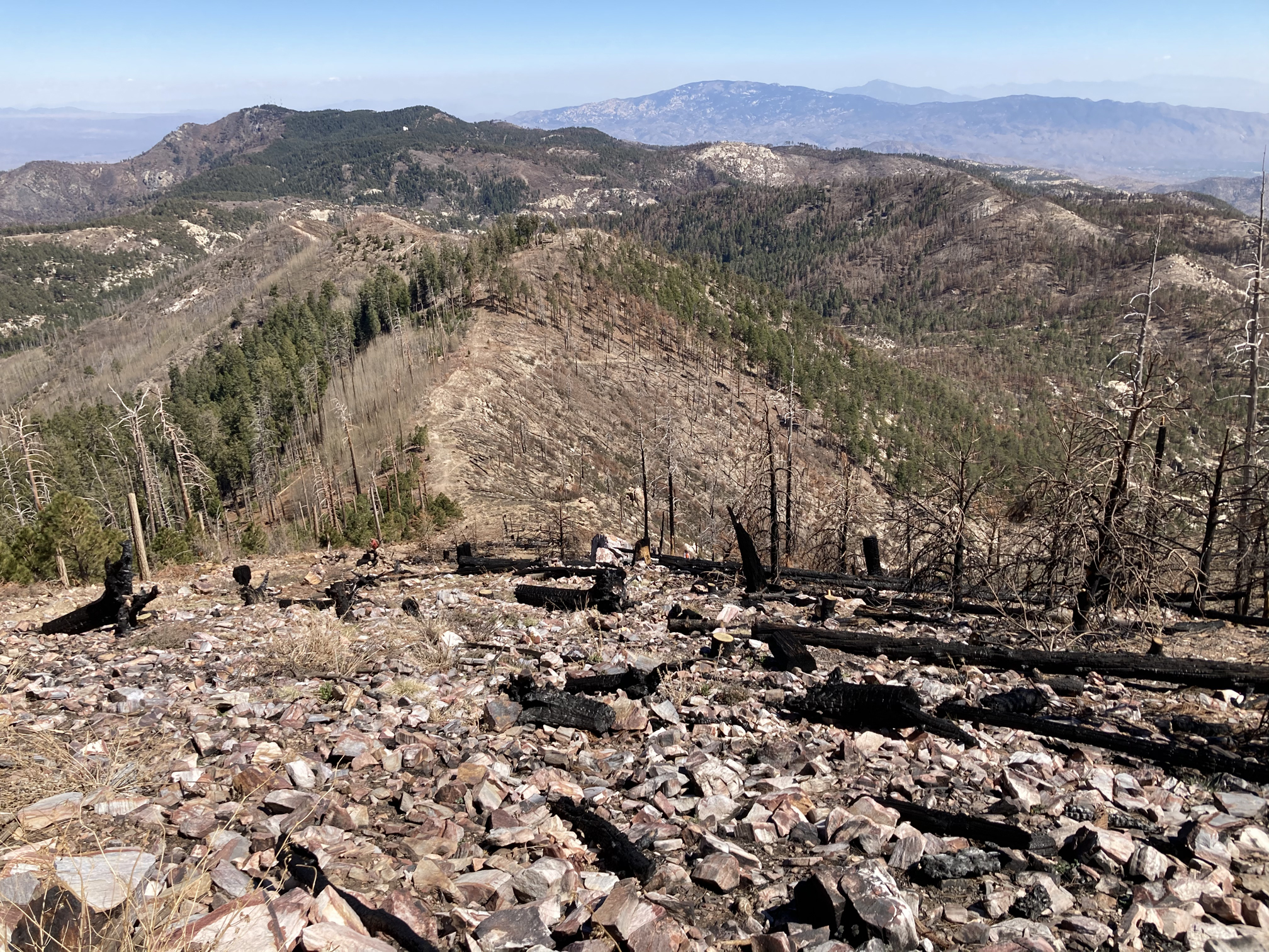
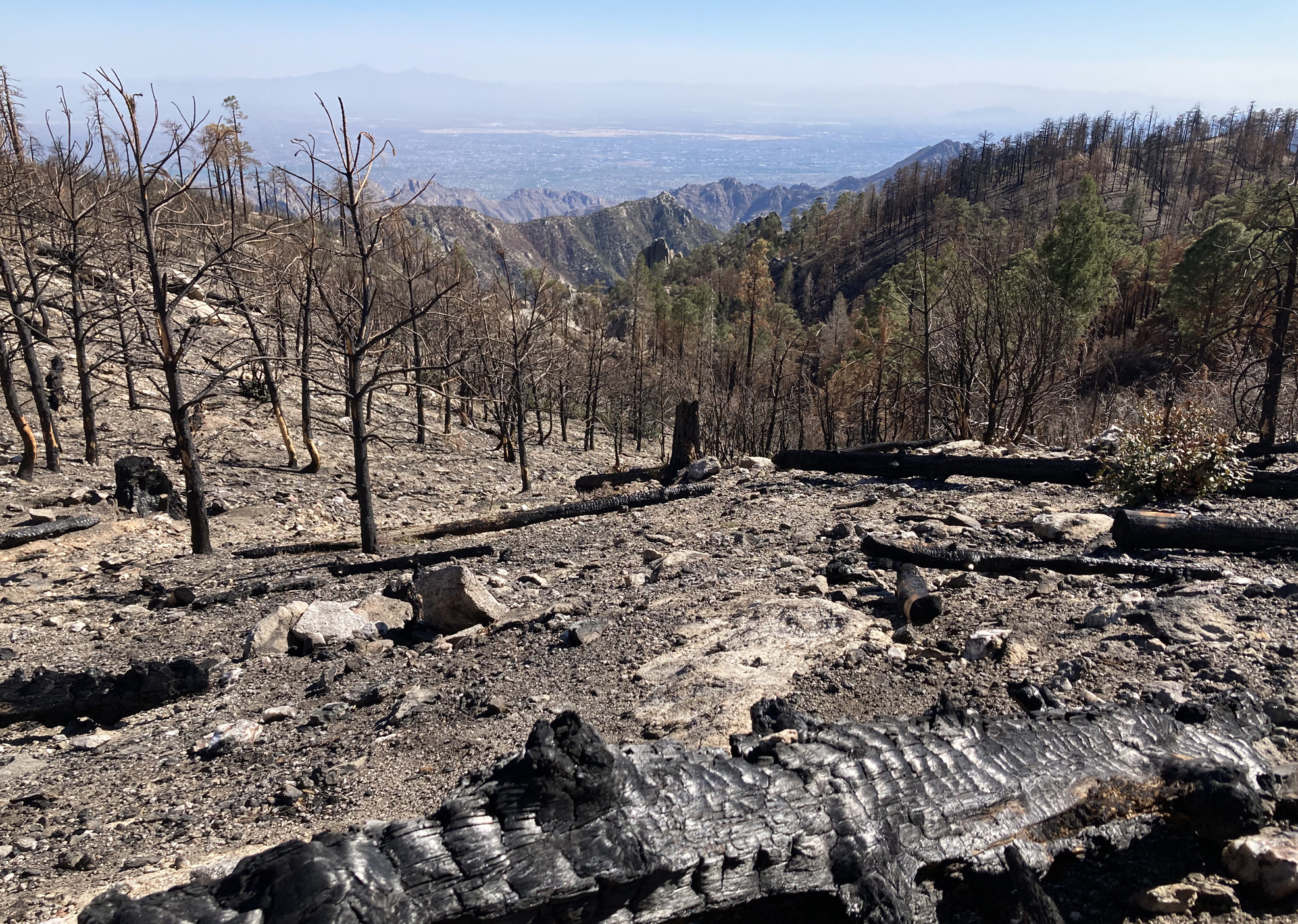
Some of my training runs are more hiking than running, due to the rugged terrain or steep grades and elevation gain. On Friday, April 30, I did a 14 mile hike on Mt. Lemmon, starting at @ 7400′ and summiting at 9100′, with a total of 3235′ elevation gain. The Bryce 30k will be at the same elevations with about the same gain, but a longer course. This was a tough hike: all of the trails I was on had been affected by the Big Horn Fire last year, so not only was the day physically exhausting (very rocky and eroded trails) it was also emotionally draining to see so much burned vegetation.
A couple days after the hike, my neck muscles and pecs became tight and painful. I used trekking poles on the hike and did a long course swim the next day, so it really wasn’t a surprise that this chronic issue of mine had flared up again. But it wasn’t until I did a 5 mile trail run a few days later that I started experiencing some pain in my right leg: lateral knee, top of ankle and big toe. Probably a result of several factors – didn’t rest sufficiently after a strenuous hike, lower leg muscle imbalances, and my tight neck muscles. By Thursday it wasn’t getting better, so I took the day off to rest and focus on stretching, myofascial release and nerve flossing. I felt considerably better by the end of the day so decided to stay on track with my training and do another long hike the next day.
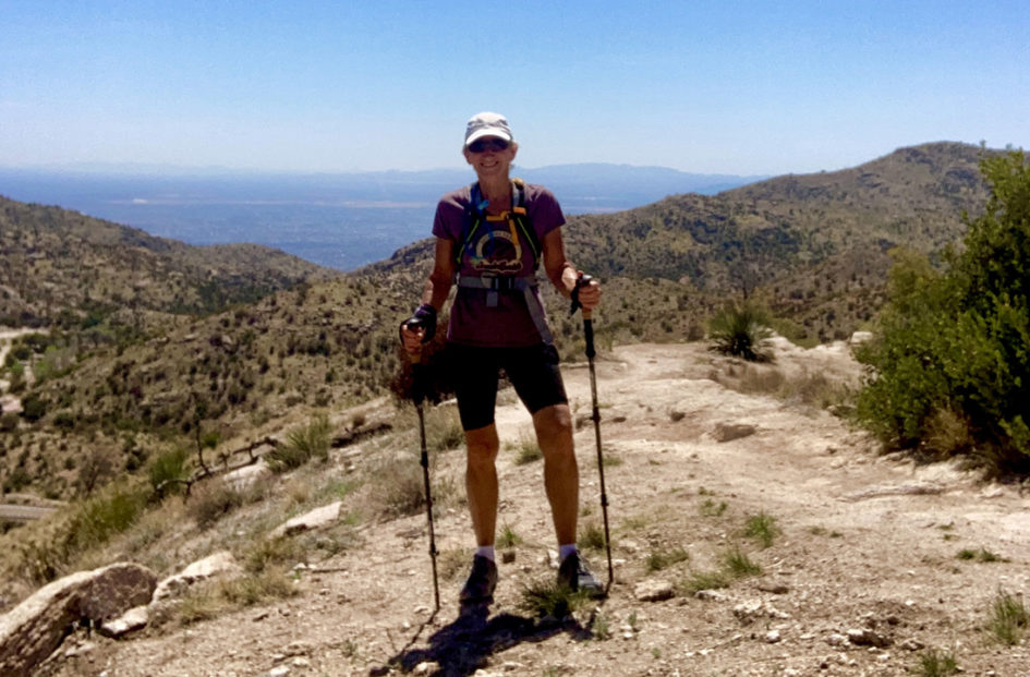
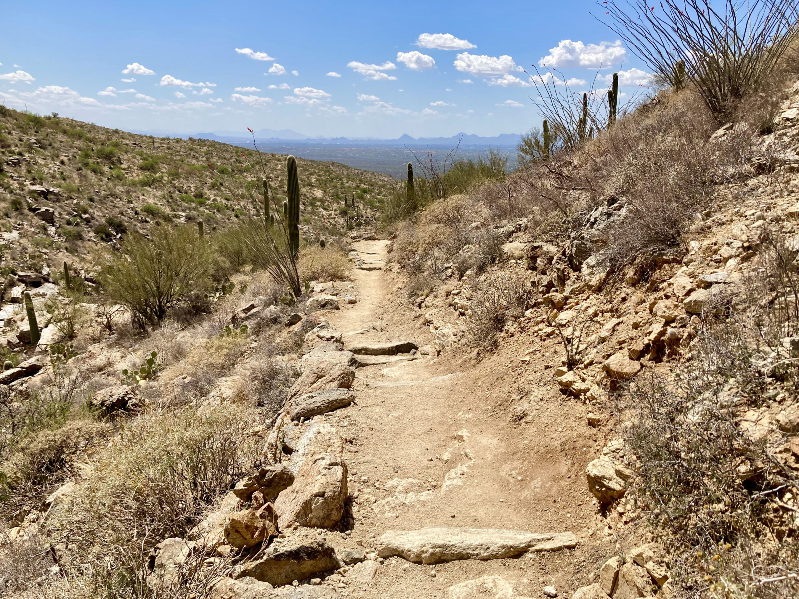
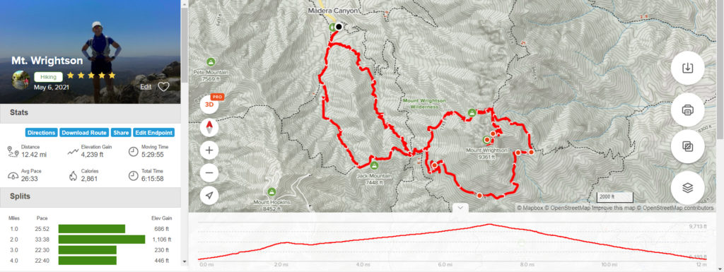
I spent most of Friday, May 7, on Mt. Wrightson, which is about 50 miles south of Tucson, in the Santa Rita Mountains. This time I did a 12.5 mile hike, starting at @ 5400′, summiting at 9460′, with a total of about 4200′ total elevation gain (details of my route are on AllTrails.com). The scenery from the trails is spectacular, with great views in all directions.
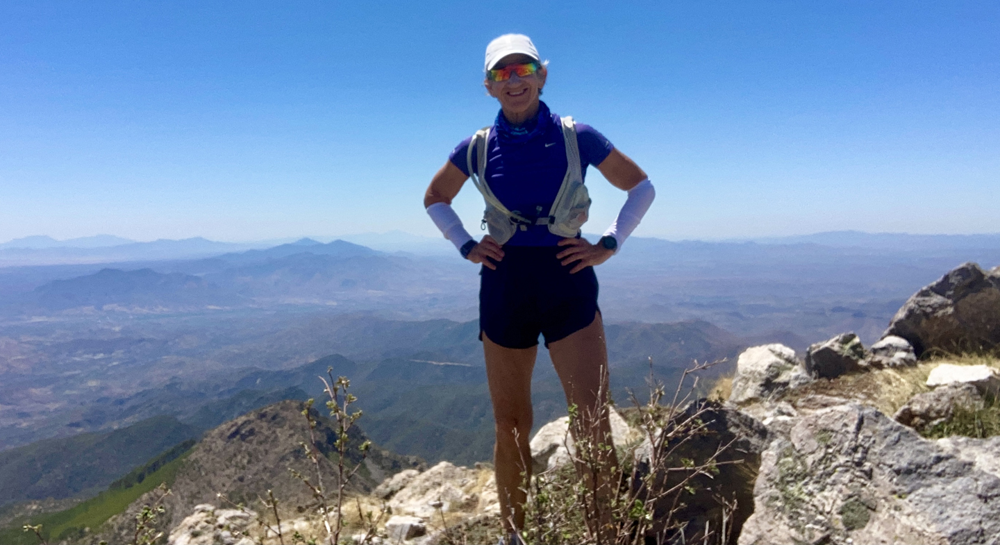
The summit of Mt. Wrightson lies ahead! 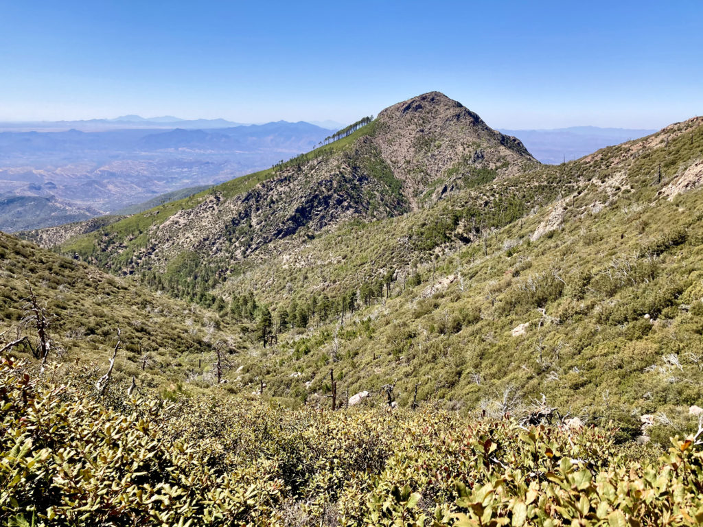
On the Super Trail, looking West
Like the previous week, this was another tough climb, but I wasn’t concerned about time – the intention was to enjoy myself and finish feeling good, which I did! An added bonus toward the end of my hike was passing a couple on their way up, and as I approached them the woman said, “Now, there’s an athlete!” I laughed and thanked her – those types of comments are always great to hear and it made the final descent a little easier.
My last long training run was on Sunday, May 16, which I did again on the Douglas Spring Trail. I pushed harder than when I did the same route last month – the goal was to make all the cutoff points with plenty of time to spare. I started at 6am, an hour earlier than I will start the Bryce race, but I wanted to finish before it got too hot (still it was 90F when I finished at 12:30pm). Bryce will have multiple aid stations with cutoff times, but the most significant is at mile 8, which they refer to as the “Grim Reaper.” This is a checkpoint that if missed, even by 1 second, will result in immediate disqualification from the race. Assuming a 7am start, I would need to be there in 3 hours and 48 min. I made it to mile 8 in 2 hours and 34 minutes (whew!), and I easily made the rest of the cutoff times. So, even though it was a bit of a sufferfest (one of my trekking poles broke, my knees were screaming at me from mile 11 on, and I ran out of water at mile 15), I felt good about my dress rehearsal!


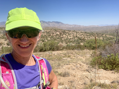
Kathleen Bober 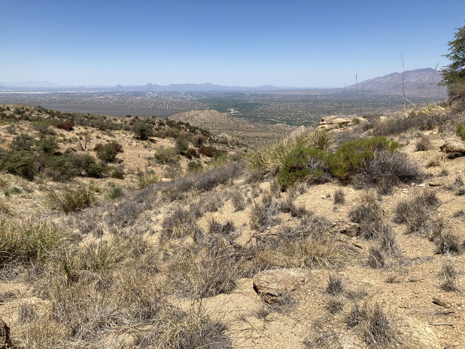
A few days before the race we decided spend a couple of days in Flagstaff, enjoying the higher altitude and cooler temps. I did an easy 5-mile run from the Sandy Seep trailhead – felt pretty good, nothing hurt, and breathing at 7000′ is very comfortable. For the next few days my plan is to take it pretty easy – lots of stretching, easy walks. and myofascial release.